
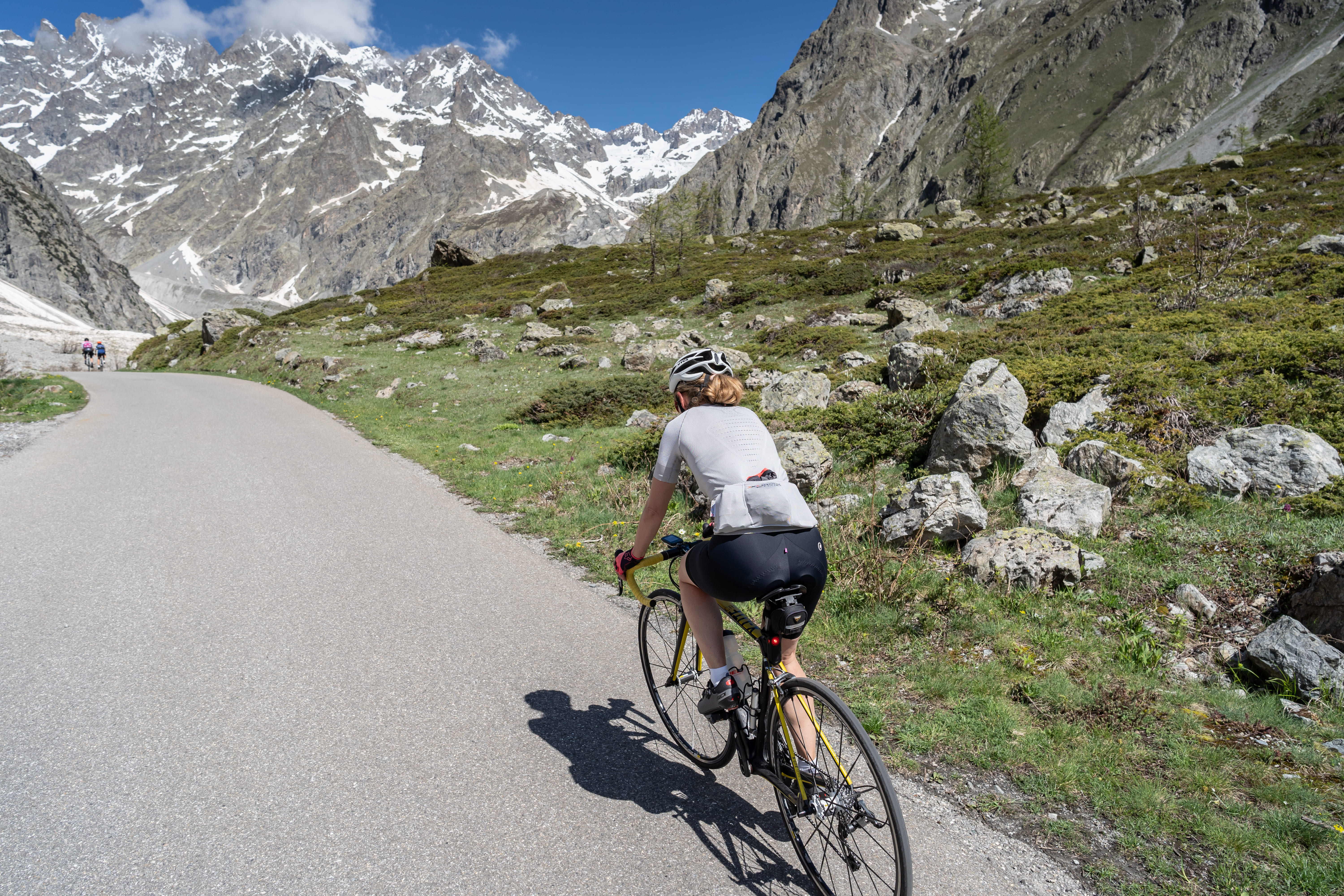
Cycling up to Pré de Mme Carle
 Medium
Distance: 13.4km
Elevation gain: 750m
Average gradient: 5.4%
Number of hairpins: 8
The small road climbing from Ailefroide up to Pré de Madame Carle will take you to discover this remote corner of the world, both mythical and magical, following the same route taken by the earliest mountaineers of the era.
You will pass through the hamlet of Ailefroide, which has been since the 20th century the base camp for mountaineers in pursuit of high-altitude peaks. The route then continues through the heart of the Écrins National Park, a protected area renowned for the diversity and beauty of its landscapes. Be prepared to push yourself to conquer the climb, the sense of achievement will be all the greater for it!
At Pré de Madame Carle, a refreshment stop awaits you for a moment of relaxation and a cool drink, with views of the glaciers and iconic summits of the massif.
Description
- From the Vallouise bridge, continue along the road climbing towards the hamlets of Pelvoux.
- Cross the Claux bridge where the climb to Ailefroide begins.
- Once in Ailefroide, continue along the same road up to the final hairpins leading to Pré de Madame Carle. Return to Vallouise via the same route.
- Departure : Vallouise
- Arrival : Pré de Mme Carle
- Towns crossed : Vallouise-Pelvoux
Altimetric profile
Recommandations
Follow the designated direction of the routes.
Respect other road users.
Wearing a helmet is mandatory.
Don't hesitate to check Info Route 05 before setting off.
Helmet
Cycling shoes
Cycling bib and jersey
Water and food
Windbreaker
Information desks
Place de l'Eglise, 05340 Vallouise
Transport
Public transport >> www.pacamobilite.fr
Consider carpooling >> www.blablacar.fr
For more information, contact the nearest Tourist Information Office to the starting point of the ride.
Access and parking
At 10 km of L’Argentière-La Bessée, take the D994E in direction of Vallouise.
Parking :
Sensitive areas
Golden eagle
- Impacted practices:
- Aerial, , Vertical
- Sensitivity periods:
- JanFebMarAprMayJunJulAug
- Contact:
- Parc National des Écrins
Julien Charron
julien.charron@ecrins-parcnational.fr
Golden eagle
- Impacted practices:
- Aerial, , Vertical
- Sensitivity periods:
- JanFebMarAprMayJunJulAug
- Contact:
- Parc National des Écrins
Julien Charron
julien.charron@ecrins-parcnational.fr
6 points of interest
Four banal - PNE  Vernacular heritage
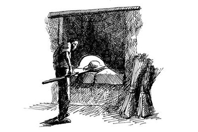
Bread oven
It is already there on the Napoleonic land register, and was renovated by the town less than 10 years ago with original stone and fire-resistant brick for the vault. Each village had a communal oven saving wood and social ties explain the importance of shared bread baking. Almost a whole month, day and night, between November and December, was devoted to baking bread. The ritual is now carried on in summer baking during religious feast days or other local events.
La chapelle du Poët - PNE  History
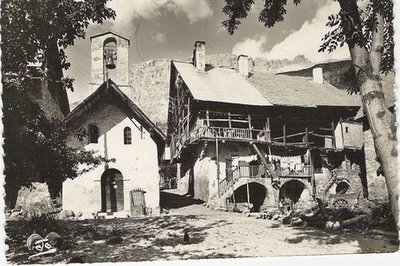
Le Poët chapel
A portrait of St-Pancras, the patron saint of the Poët chapel, was once painted on the façade, dressed as a crusader. On his feast day, 12 May, there was a morning mass and we made rice pudding to share with inhabitants from other towns who had journeyed there. Almost two months earlier, the feast of Saint-Joseph was celebrated with a mass in Le Sarret, with families from neighbouring villages invited to eat stew and the traditional rice pudding.
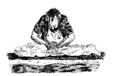
Mère Denis - PNE  Know-how
The "bua"
Before the year's work began in the fields, the women would spend a special day washing the winter's linen. This was called the "bua". A second was organised in the autumn. The bed linen brought outside to be washed with soap, in cold water. A brief rinse and second wash in soap completed this pre-wash step, called «essangeage». The laundry was then «poured» nto a wooden vat, lined with a coarse canvas.
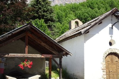
La chapelle aau Fangeas - Office de tourisme Pays des Écrins Vernacular heritageThe minor heritage of Pelvoux
Every hamlet has its own chapel. In the territory of Pelvoux, Les Claux has the chapel of Sainte-Barbe with a restored sun dial dating from 1792. The seventeenth-century chapel of Saint-Pancrace is in Le Poët. In Le Sarret, you can admire the chapel of Saint-Joseph and the chapel of Notre-Dame des Sept Douleurs stands in Le Fangeas. Every hamlet has its own communal oven and water fountains as well. Finally, the church of Saint-Antoine is located in the hamlet of Saint-Antoine. It has a sun dial dating from 1810.
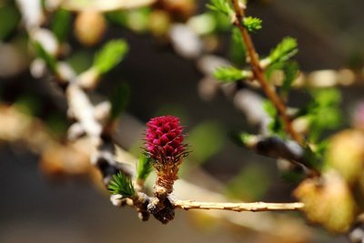
Mélèze en fleur - Christophe Albert - Parc national des Écrins  Flora
FloraThe larch
The symbol of the Southern Alps, this softwood tree loses its leaves in winter, and is swathed with gold and lights up the mountains in autumn. The larch forests are maintained by the grazing of flocks. Without them, other trees like the fir or other pine trees could grow, creating a different kind of forest. A pioneer species, the larch establishes freely in light conditions. Its solid rot-proof wood has always been used in the construction of houses.
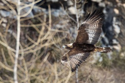
L'aigle royal - Pascal Saulay - Parc national des Écrins  Fauna
FaunaThe golden eagle
A pair of eagles lives in the Ailefroide valley. Every pair has a very large hunting territory, which means there can be no more than one pair in a small valley of this size. This pair has built several eyries in the cliff walls around Ailefroide: just one is occupied every year, after a few refurbishments. The eyries are located at the lower altitudes of the hunting territory, so that the eagles can easily bring heavy prey back to the eaglet.
details.BAMwidget
Source

Report a problem or an error
If you have found an error on this page or if you have noticed any problems during your hike, please report them to us here: