The Béal Neuf: from mountain stream to canal
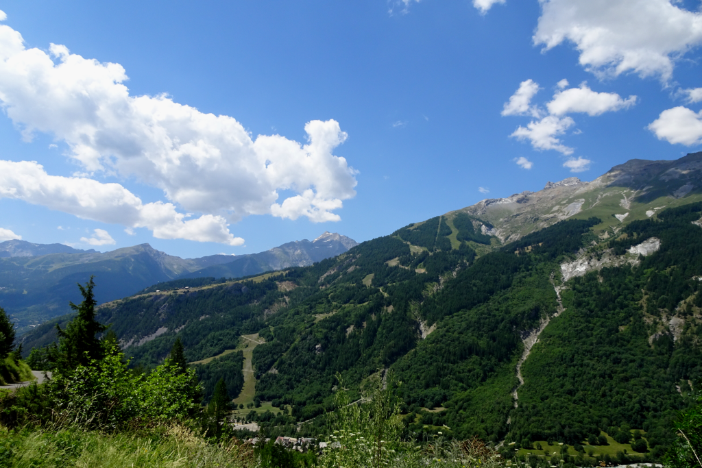
This trail is a little gem, with its canal-hugging path along the water's edge. The high point is the point at which the canal splits from the Eychauda mountain stream. Highly enlightening information panels will capture the interest of young and old alike.
Description
A sign indicates the there-and-back path leading to the canal intake.
- At the canal intake, turn back on yourself and return to your starting point by following the outward route in reverse. Where the paths intersect, be sure to keep to the left-hand path which soon runs along the canal side again.
- Departure : Route de Chambran
- Arrival : Route de Chambran
- Towns crossed : Vallouise-Pelvoux
Altimetric profile
Recommandations
Access to the canal is prohibited for herds or flocks of animals and all vehicles (motorised or otherwise).
There is a second section along the Béal Neuf canal: “Les canaux et les hommes, une histoire emblématique”(Canals and mankind, an iconic history). The starting point is 1 kilometre down from the starting point of the first path, where the canal leaves the road at the winding section.
Check weather conditions before setting off.
Rescue services contact details: Secours Montagne (Mountain Rescue): +33 (0)4 92 22 22 22 or 112
Show consideration for the work of farmers, livestock keepers and owners
Close all gates behind you
Take your litter home
Do not take shortcuts across pastureland
Information desks
Place de l'Eglise, 05340 Vallouise

Vallouise Park house
, 05290 Vallouise
Information, documentation, models, exhibitions, screenings, product sales and works of the Park. Guided tours for school, reservation required. The new Park House opened in Vallouise since June 1, and offers visitors an interactive permanent exhibition inviting to explore the area and its heritage. A temporary exhibition space will allow a renewed offer. Finally, the device is completed by an audiovisual room to organize screenings and conferences Free admission. All animations of the Park are free unless otherwise stated.
Transport
Public transport >> www.pacamobilite.fr
Consider car-sharing >> www.blablacar.fr
For more information, ask at the Tourist Information Office nearest to the trail starting point.
Access and parking
14.5 km from L'Argentière-La Bessée, take the D994E and then the D421T.
Parking :
4 points of interest
Le Canal du Béal Neuf - Office de tourisme Pays des Écrins  Water
WaterASA of Béal Neuf
The ASA (authorised water user association) of Béal Neuf is the owner of the canal. The association manages, maintains and develops the Béal Neuf canal which carries water to the entire network of irrigation canals.
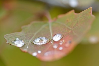
Gouttes d'eau sur une feuille de tremble - Mireille Coulon - Parc national des Écrins  Flora
FloraThe aspen
The path runs through a small aspen wood. This tree with a smooth, greenish trunk and rounded, crenelated leaves takes on magnificent autumn colours. The stem, or petiole, of aspen leaves is flat and twisted, so it can be caught by the slightest breeze making the foliage «quake» hence its common name, the quaking aspen. It grows in places where the soil is quite damp.
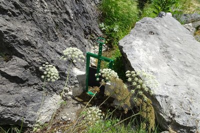
Martelière qui assure la distribution de l'eau - Office de tourisme Pays des Écrins WaterWater in the mountains
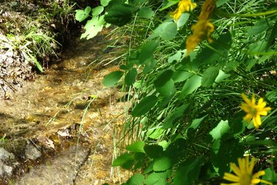
Since the Middle Ages, canals have been dug to carry water to the crops. The water is diverted by the canals: through the action of gravity, the water flows down the mountain sides. Use of the water is regulated and for any draw-off, the volume is measured.
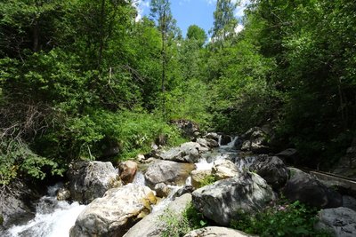
Le torrent de l'Eychauda - Office de tourisme Pays des Écrins WaterThe L'Eychauda mountain stream
Despite its name, the L'Eychauda mountain stream does not flow from the Lac de l'Eychauda, lying at an altitude of 2,514 metres, but is fed by waters from the Dôme de Montier (3,400 m). The mountain stream is also thought to be fed by several underground water courses.
More information
details.BAMwidget
Source

Report a problem or an error
If you have found an error on this page or if you have noticed any problems during your hike, please report them to us here: