The Ailefroide loop
Of course, it is possible to reach Ailefroide directly by car, but making your way there on foot makes your discovery of the area more interesting. Surrounded by high walls of granite, a paradise for climbers, this former alpine pasture hamlet has lost none of its charm, even without the houses that once stood here. Very lively in the summer, the village quietens down again at the end of August.
Description
Waysigning: one green dot and one white dot
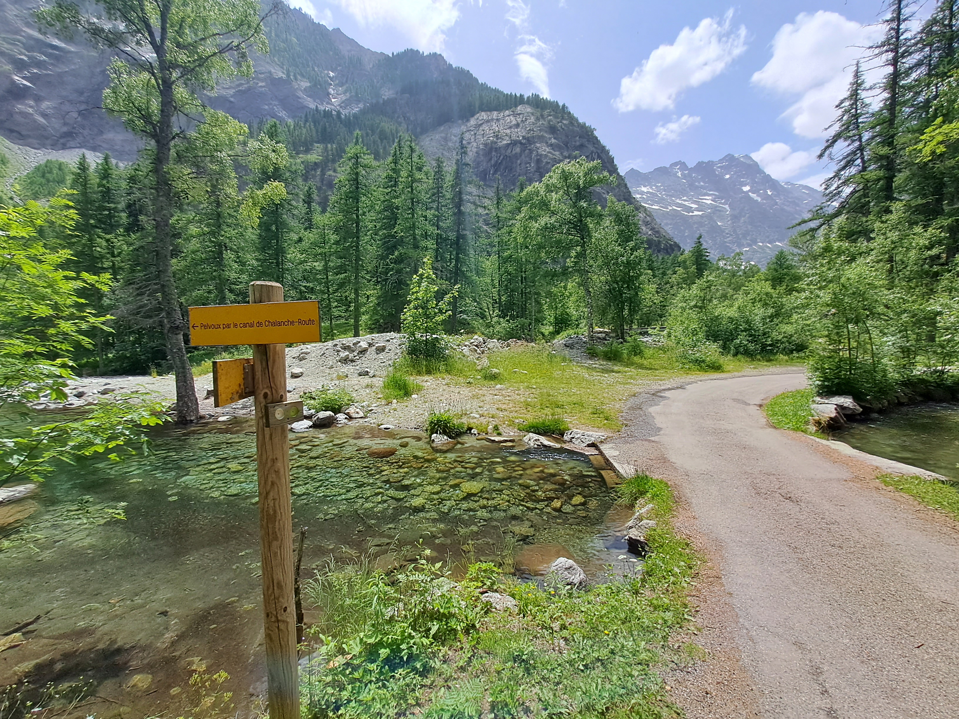
From the car park in Les Claux, follow the path to Ailefroide via Pra Chapel, which runs uphill just to the right of the penstock pipe. A short distance further up, the route crosses the pipe and continues along a lovely paved path edged by walls and stones. It passes close to the chalets of Le Serre and then Pra chapel, crosses an avalanche path (see recommendations) and comes to the chalets uphill from Ailefroide.
- Take the road on the left to cross the bridge and start to descend again on this road, which runs right through the hamlet.
- Follow a narrow road which leads into the campsite and continues along a path which crosses the Celse-Nière mountain stream.
- After the footbridge, take the path on the left which joins the Ailefroide road further on. The path leads back down to the car park in Les Claux, cutting across the road several times.
- Departure : Car park in Les Claux
- Arrival : Car park in Les Claux
- Towns crossed : Vallouise-Pelvoux
Altimetric profile
Recommandations
In the avalanche path, you have to cross a mountain stream (no footbridge) This mountain stream is relatively easy to cross, but it can swell in early summer due to snow melt, on days of heavy rain or after a storm.
Exercise caution when crossing the road, in particular on the downward path.
Check weather conditions before setting off.
Rescue services contact details: Secours Montagne (Mountain Rescue): +33 (0)4 92 22 22 22 or 112
Show consideration for the work of farmers, livestock keepers and owners
Close all gates behind you
Take your litter home
Do not take shortcuts across pastureland
Information desks
Place de l'Eglise, 05340 Vallouise
Vallouise Park house
, 05290 Vallouise
Information, documentation, models, exhibitions, screenings, product sales and works of the Park. Guided tours for school, reservation required. The new Park House opened in Vallouise since June 1, and offers visitors an interactive permanent exhibition inviting to explore the area and its heritage. A temporary exhibition space will allow a renewed offer. Finally, the device is completed by an audiovisual room to organize screenings and conferences Free admission. All animations of the Park are free unless otherwise stated.
Transport
Public transport >> www.pacamobilite.fr
Consider car-sharing >> www.blablacar.fr
For more information, ask at the Tourist Information Office nearest to the trail starting point.
Access and parking
13.5 km from L'Argentière-La Bessée, take the D994E.
Parking :
Sensitive areas
Golden eagle
- Impacted practices:
- Aerial, , Vertical
- Sensitivity periods:
- JanFebMarAprMayJunJulAug
- Contact:
- Parc National des Écrins
Julien Charron
julien.charron@ecrins-parcnational.fr
Golden eagle
- Impacted practices:
- Aerial, , Vertical
- Sensitivity periods:
- JanFebMarAprMayJunJulAug
- Contact:
- Parc National des Écrins
Julien Charron
julien.charron@ecrins-parcnational.fr
Black grouse - winter
- Impacted practices:
- , Land
- Sensitivity periods:
- JanFebMarAprDec
- Contact:
Black grouse - winter
- Impacted practices:
- , Land
- Sensitivity periods:
- JanFebMarAprDec
- Contact:
- Parc national des Ecrins - 0492402010
5 points of interest
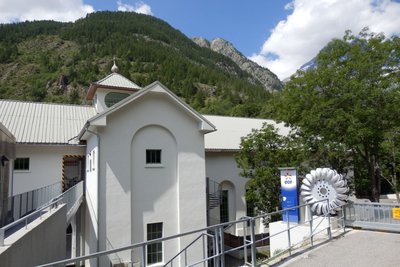
L'usine des Claux - Office de tourisme Pays des Écrins  Vernacular heritage
The penstock pipe
This penstock pipe carries water to the Le Claux hydroelectric power plant, located just below here, which exploits the water from the Les Écrins massif. The power plant was inaugurated in 1932. At the time, the electricity generated was primarily used to power the aluminium factory located in L'Argentière-La Bessée.
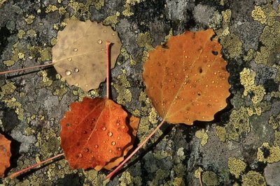
Des feuilles de tremble - Marc Corail - Parc national des Écrins  Flora
FloraThe aspen
The track runs close to an aspen wood. This tree has a smooth, greenish trunk and rounded, crenelated leaves which take on magnificent colours in autumn. The stem, or petiole, of aspen leaves is flat and twisted, so it can be caught by the slightest breeze making the foliage «quake» hence its common name, the quaking aspen. It grows in places where the soil is quite damp.
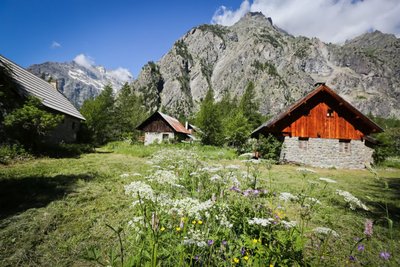
Ailefroide - Jan Novak Photography  Top
TopAilefroide
Formerly an alpine pasture hamlet, Ailefroide lies at the foot of Mont Pelvoux, surrounded by larch woods and granite cliffs. It is the last hamlet in the valley, at the confluence of the valleys of Saint-Pierre and Celse Nière. The name Ailefroide is thought to originate from the term Alpe froide or “cold Alp”, a reference to the lack of sun here in the winter. It is the starting point of numerous trails and is a paradise for climbers. Ailefroide is a legendary destination for mountaineers: a stele commemorates the conquest of Mont Pelvoux in 1828.
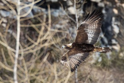
L'aigle royal - Pascal Saulay - Parc national des Écrins  Fauna
FaunaThe golden eagle
A pair of eagles lives in the Ailefroide valley. Every pair has a very large hunting territory, which means there can be no more than one pair in a small valley of this size. This pair has built several eyries in the cliff walls around Ailefroide: just one is occupied every year, after a few refurbishments. The eyries are located at the lower altitudes of the hunting territory, so that the eagles can easily bring heavy prey back to the eaglet.
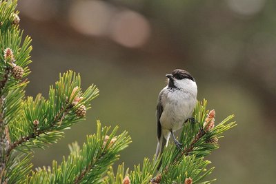
La mésange boréale - Mireille Coulon - Parc national des Écrins  Fauna
FaunaThe willow tit
A soft call, a series of short repetitive notes, is heard in the forest. It's the call of the willow tit, also known as the alpine tit. As for its plumage, it has a greyish brown back, beige underparts, a white head with a black cap and a little black bib, It lives in mountain forests. It is the double of the marsh tit, which tends to live below 1,400 metres.
Source

Report a problem or an error
If you have found an error on this page or if you have noticed any problems during your hike, please report them to us here:

