Les Choulières circuit (no. 3)
Description
The trail starts at the Pelvoux-Vallouise resort, near the Village Igloo
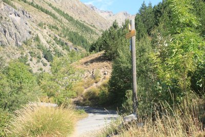
- Cross the footbridge over the Gyr and head left onto the local road. Leave the road 200 metres further on, turning right towards the Domaine des Claux
- At the end of the track, turn left onto the road leading towards Les Choulières
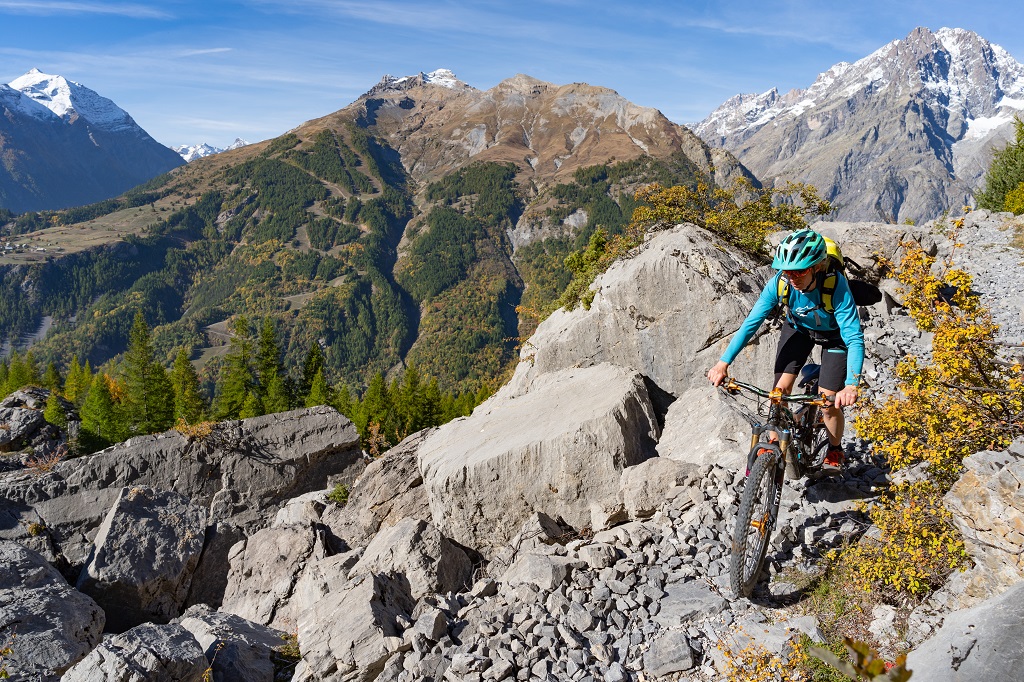
- On the hairpin, go straight ahead along a narrow path heading towards the "Adret" (south-facing slopes). ⚠ Caution, dangerous section; if necessary, for safety's sake keep to the biking side along certain stretches
- At the intersection, turn left towards Le Sarret
- On the descent to the mountain stream La Juliane, continue straight ahead to cross it
- At Belle Vue, turn left towards Le Poët and Vallouise
- At the end of the track, head left, then right and then left again to take a narrow path taking you across the Paulin mountain stream (⚠ Be careful not to be caught by the current!)
- Head left on a track which runs downhill to a paved road, then the local road in Vallouise
- At the crossroads near the bridge, turn right to take a track, called Le Moulin, which runs along the left-hand bank of the Gyr
- Cross the bridge spanning the Gyr and head right towards your starting point.
- Departure : Pelvoux-Vallouise resort
- Arrival : Pelvoux-Vallouise resort
- Towns crossed : Vallouise-Pelvoux
Altimetric profile
Recommandations
Rescue services contact details: Secours Montagne(Mountain Rescue): +33 (0)4 92 22 22 22 or 112
Show consideration for the work of farmers, livestock keepers and owners
Take your litter home
Do not take shortcuts across pastureland In mountain pastures, protection dogs are there to protect the herds from predators (wolves, etc.).
When mountain biking, I adapt my behavior by going around the herd, pausing and getting off the bike so the dog can identify me.
Find out more about the actions to adopt with the article "Protection dogs: a context and actions to adopt".
Tell us about your meeting by answering this survey.
Information desks
Place de l'Eglise, 05340 Vallouise

Vallouise Park house
, 05290 Vallouise
Information, documentation, models, exhibitions, screenings, product sales and works of the Park. Guided tours for school, reservation required. The new Park House opened in Vallouise since June 1, and offers visitors an interactive permanent exhibition inviting to explore the area and its heritage. A temporary exhibition space will allow a renewed offer. Finally, the device is completed by an audiovisual room to organize screenings and conferences Free admission. All animations of the Park are free unless otherwise stated.
Transport
Public transport >> www.pacamobilite.fr
Consider car-sharing >> www.blablacar.fr
Access and parking
Parking :
6 points of interest
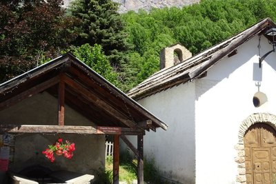
La chapelle aau Fangeas - Office de tourisme Pays des Écrins  Vernacular heritage
The minor heritage of Pelvoux
Every hamlet has its own chapel. In the territory of Pelvoux, Les Claux has the chapel of Sainte-Barbe with a restored sun dial dating from 1792. The seventeenth-century chapel of Saint-Pancrace is in Le Poët. In Le Sarret, you can admire the chapel of Saint-Joseph and the chapel of Notre-Dame des Sept Douleurs stands in Le Fangeas. Every hamlet has its own communal oven and water fountains as well. Finally, the church of Saint-Antoine is located in the hamlet of Saint-Antoine. It has a sun dial dating from 1810.
Les Choulières - Office de tourisme du Pays des Écrins  History
Les Choulières
The French children's song Savez-vous planter les choux? (Do you know how to plant cabbage?) is very appropriate here! In any event, the name Choulières is believed to be a reference to a place planted with cabbages and, by extension, a place where vegetables are grown. The phasing out of crop cultivation in the mountains has altered the landscape: the hay meadows and fields are now used as grazing meadows for increasingly large flocks of sheep.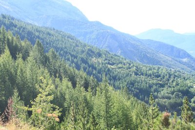
L'Adret - Office de tourisme du Pays des Écrins  Geology and geography
L'Adret
This place is called L'Adret. In some regions, the term adret refers to the slope that is exposed to the sun, facing south or west. This is as opposed to the ubac, the north-facing slope. On the adret side, crops start to grow earlier and ripen faster and the houses warm up quicker too! These warmer slopes have therefore largely been cleared of vegetation, and the forest was maintained as a source of wood for fuel or building material.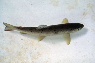
La truite fario - Parc national des Écrins  Fauna
FaunaThe trout
But what's the angler angling for? The brown trout of course! This is the mountain fish par excellence, with a streamlined body to withstand the current more efficiently and light brown skin speckled with black and red. It lives in cold, oxygen-rich waters.
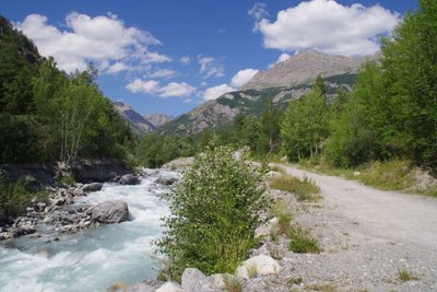
Forêt au bord du Gyr - Office de tourisme Pays des Écrins  Flora
FloraForest on the water's edge
This small wood is a fragment of the riparian forest: natural forest growing adjacent to a body of water. Reduced everywhere due to urbanisation, this type of forest is made up of alder, willow and oak, and also poplar, birch and aspen, among others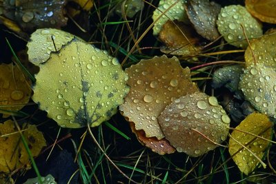
Des feuilles de tremble - Bernard Nicollet - Parc national des Écrins FloraThe aspen
On the right, a stand of aspens with smooth, greenish trunks and rounded, crenelated leaves take on magnificent colours in autumn. The stem, or petiole, of aspen leaves is flat and twisted, so it can be caught by the slightest breeze making the foliage «quake» hence its common name, the quaking aspen.
More information
Source

Report a problem or an error
If you have found an error on this page or if you have noticed any problems during your hike, please report them to us here: