
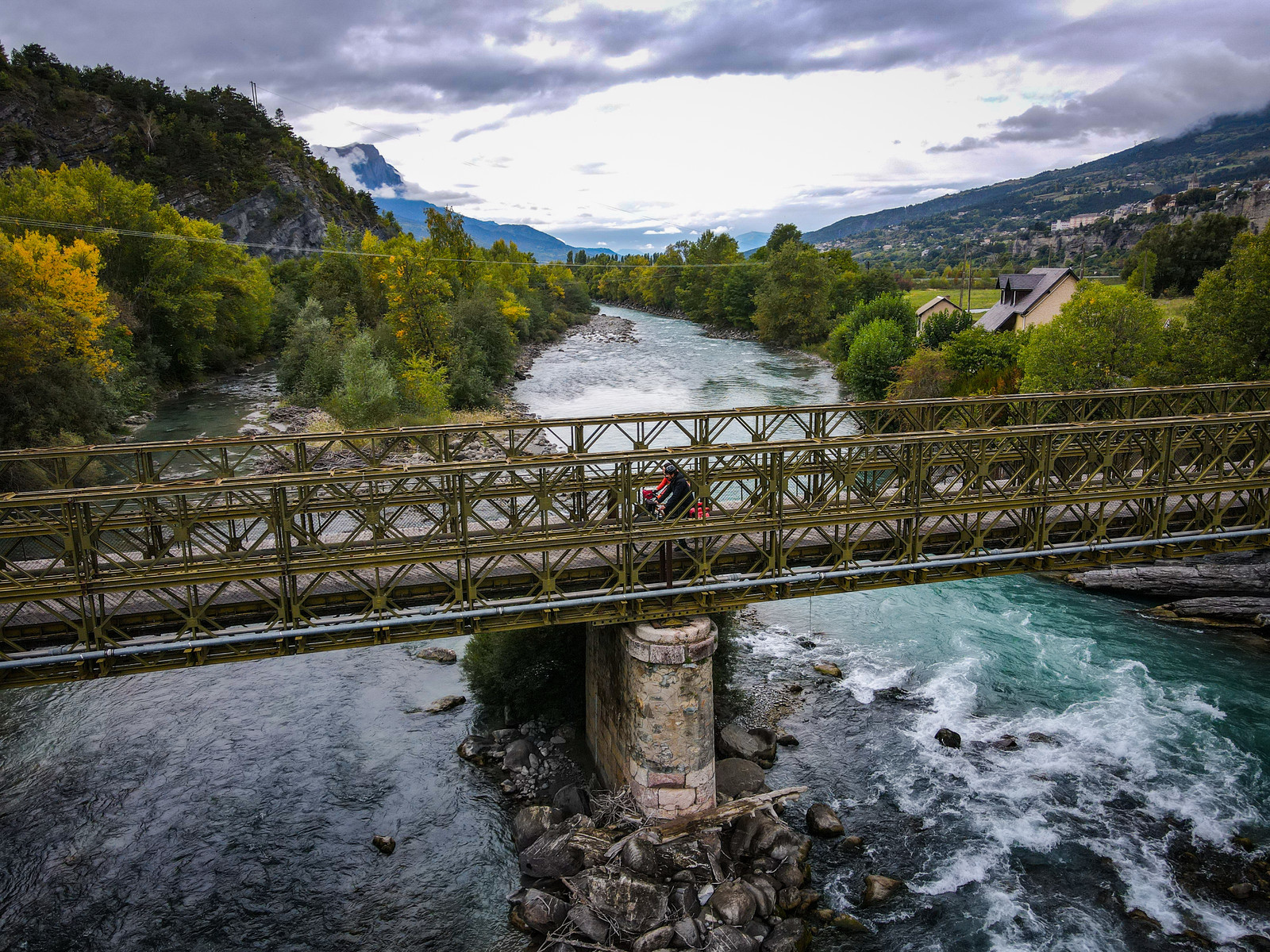
1. The Durance by Bike Stage 1: Le Monêtier-les-Bains - L'Argentière-la-Bessée
 Medium
Difficulty
The northern section of the route (from Briançon) follows mountain roads with steep gradients (>6%). We recommend this northern portion to experienced cyclists. It is possible to skip the more challenging stages by train. The southern section (from Gap) is easier, as it largely follows the Durance Canal. We recommend this more accessible portion to less experienced cyclists.
Whether you set off from Briançon, or treat yourself to the first kilometres of the cycling route through the Guisane Valley, you are right in the thick of it: towering summits, the roar of mountain torrents, the masterfully designed Vauban fortifications, the sporting spirit of this high Alpine valley, and the warm caress of the southern Alpine sun.
Description
- From the centre of the village of Le Monêtier-les-Bains, the route heads to Briançon via the heights of the southern slope of the valley, passing through the hamlets that come alive in winter as part of the Serre Chevalier ski resort. In Briançon, the Atelier Cyclonique — an association offering self-service bike repairs — may well be on hand for a quick mechanical check, a few adjustments, or a repair on the go.
- Leaving Briançon via the Route des Espagnols, which passes through Villard-Saint-Pancrace, you can glimpse on the other side of the valley the villages of Puy-Saint-André and Puy-Saint-Pierre, along with dark patches that tell the story of coal mining and the ancient forests that were its source.
- The route crosses the Durance for the first time to reach its right bank, gradually climbing towards Vallouise — first along a balcony above the terraces, then above the gorges carved by the river between Saint-Martin-de-Queyrières and L'Argentière, through the cordite that neither the ancient glacier nor the river managed to erode.
- It is at Les Vigneaux that another lively mountain stream appears: the Gyronde, which you simply follow down to L'Argentière, letting yourself glide along in a well-earned descent. The Gyronde and the Durance meet and rumble between the embankments, just a stone's throw from the terraces where a well-deserved break awaits.
- Departure : Le Monêtier-les-Bains
- Arrival : L'Argentière-la-Bessée
- Towns crossed : Le Monêtier-les-Bains, La Salle-les-Alpes, Saint-Chaffrey, Briançon, Villar-Saint-Pancrace, Saint-Martin-de-Queyrières, Les Vigneaux, and L'Argentière-la-Bessée
Altimetric profile
Recommandations
Best period: April to October — be mindful of intense summer heat.
Waymarking: The route is continuously waymarked from Briançon to Sisteron with standard cycling route signage featuring the "Durance à Vélo" logo.
Surface / Safety: The Durance by Bike is a cycling route that follows a network of paved secondary roads. You will be sharing the road with motor vehicles. This is not a dedicated cycle path itinerary.
Difficulty: The northern section of the route (from Briançon) follows mountain roads with steep gradients (>6%). We recommend this northern portion to experienced cyclists. It is possible to skip the more challenging stages by train. The southern section (from Gap) is easier, as it largely follows the Durance Canal. We recommend this more accessible portion to less experienced cyclists.
To ride comfortably on the road, appropriate equipment is essential. Whether it comes to tyres, mechanical components or clothing, choose according to your level and the ride ahead. From non-superfluous accessories such as saddle bags and components to improve your pedalling, to outfits suited to road cycling, neither the cyclist's gear nor the bike's equipment should be left to chance. Specific road cycling equipment is designed and built for this discipline. Cycling shorts, jerseys, gloves, glasses and helmets specifically designed for road cycling are strongly recommended.
Transport
Train: The TER network in the Hautes-Alpes offers the following stations (from North to South):
Briançon
L'Argentière-La-Bessée
Montdauphin-Guillestre
Embrun
Chorges
Gap
Sisteron
Access and parking
The Durance by Bike follows the roads below (from North to South):
D1091 (between Le Monêtier-les-Bains and Briançon)
N94 (between Briançon and Gap)
N85 (between Gap and Sisteron)
Sensitive areas
Short-toed snake eagle
- Impacted practices:
- Aerial,
- Sensitivity periods:
- MarAprMayJunJulAugSep
- Contact:
- Parc National des Écrins
Julien Charron
julien.charron@ecrins-parcnational.fr
7 points of interest
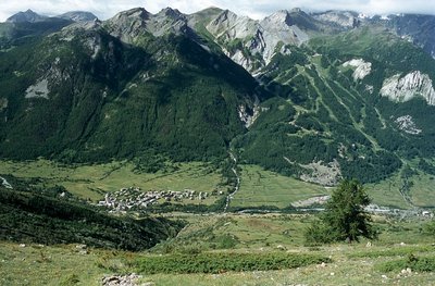
La station de Serre Chevalier 1500 au-dessus du hameau des Guibertes - © Parc national des Écrins - Jean-Pierre Nicollet  History
The Serre Chevalier resort
At the edge of the Ecrins National Park, the Serre Chevalier ski resort extends over several towns and villages on the right bank of the Guisane, from Monêtier-les-Bains to Briançon. Founded in 1941 with the Chantemerle cable car, it has the biggest ski area in the southern Alps with 61 ski lifts on all levels from an altitude of 1,200 m to 2,830 m to Pic de l'Yret (Le Monêtier-les-Bains). The resort’s logo is an eagle, in reference to Baron Borel du Bez, Briançon’s representative in 1792 at the Legislative Assembly, which ruled France between 1792 and 1795, during the French Revolution. Le Bez is a hamlet in Villeneuve that was united with the Chantemerle ski resort in the 1970s.
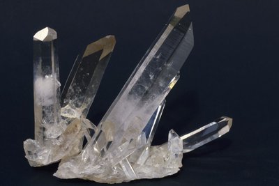
Quartz - Jean-Pierre Nicollet - Parc national des Écrins  Geology and geography
The quartzite and the ripple marks
The rock through which the tunnel has been cut is a quartzite, a metamorphic, siliceous rock which is very hard and formed by grains of quartz welded together. It originates from sand deposited 230 million years ago in the still-shallow waters of the nascent Alpine ocean, and brought here by the erosion of the surrounding topography. In places, undulations can be seen on the tunnel wall: these are ripple marks, "fossilised" creased created by water flowing over the sand.
La ressourcerie - Office de tourisme Pays des Écrins  Know-how
The Resourcerie
This former school has acquired a new function: that of giving new life to obsolete furniture and objects. The Resourcerie reclamation and repurposing centre makes new objects out of other, unwanted items. No new raw materials are used in their production, thereby helping to prevent the accumulation of waste. Eco-friendly and sustainable, the reclamation and repurposing centre reduces waste and creates employment.
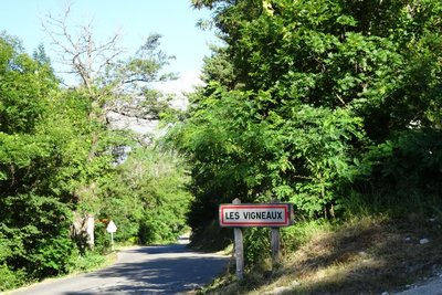
Les Vigneaux - Office de tourisme Pays des Écrins HistoryImages of the grapevine
Les Vigneaux owes its name to the vine cultivation once plied on its hillsides. The grapevine is also depicted on the town's coat of arms, which has a vineplant, and also on the traditional houses with vine trellises. Houses with grape presses are also a reminder of the importance of the grapevine.
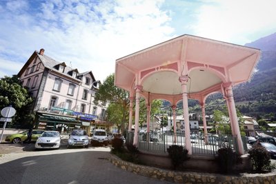
Kiosque à L'Argentière-La Bessées - Jan Novak Photography HistoryThe old workers' housing districts
Workers' housing districts were built to house the many workers who were employed at the Péchiney factory. These districts have now been demolished. The architecture of the houses varied according to the status of the employee. A town hall, a cinema, a bandstand and churches were also constructed.
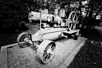
Le compresseur mobile - Jan Novak Photography HistoryThe mobile compressor
In the mines, compressed air is used to remove dust and to create power for the drills. The mobile compressor holds compressed air in a resistant tank. This is brought to a high pressure via a pump (the compressor). The compressed air is then distributed to the mine machinery through a conduit system.
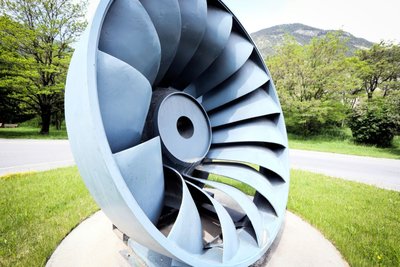
La turbine Francis - Jan Novak Photography HistoryThe Francis turbine
The American James Francis developed the Francis turbine between 1849 and 1855. It is a “àreaction” turbine suitable for medium-sized waterfalls (with a water head of between 15 and 500 metres). The water enters the turbine and then circulates between the turbine blades, which are fixed, while the inner wheel is mobile. The pressure at the wheel intake is greater than the pressure at the outlet.
More information

details.BAMwidget
Source

Report a problem or an error
If you have found an error on this page or if you have noticed any problems during your hike, please report them to us here: