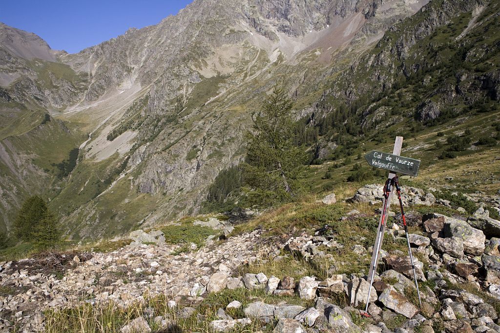
From Les Souffles to Le Désert-en-Valjouffrey (stage of the GR 54)

Villar-Loubière Hard
Hard
6. From Les Souffles to Le Désert-en-Valjouffrey (stage of the GR 54)
5h30
11km
+639m
-1337m
Stage
Embed this item to access it offline
We set off for a dizzying journey beneath the Pic des Souffles. With the help of rungs and handrails, we reach Col de la Vaurze, the entry point for the wild Valjouffrey mountain valley. On today's programme is a plunging vista and our final goal at the bottom of the valley: the peaceful village of Le Désert-en-Valjouffrey and its brand new gîte.
Description
From the refuge, follow the right-hand footpath across the Muande mountain stream and then the Péou de la Muande ravine. Follow a long path across the glacier cirque, under the Orgières, with its twists and turns, as far as a hanging plateau. Cross the meadow along the path’s big twists and turns, then walk across the scree to reach Col de la Vaurze (2 490 m).
- The descent across the scree (and sometimes the late névé) is steep and should be treated with caution. A lengthy crossing, then a passage beneath a rock cliff lead to the berm at the disused Serveille cabin (1 885 m).
- Go round the rock cliff on your right and follow the winding path as far as the rocky escarpment of the Tête de l'Essart.
- After the scree, you will return to the prairies and the Bonne bridge, entering the small village of Le Désert-en-Valjouffrey (1 260 m).
- Departure : Les Souffles, Villar Loubière
- Arrival : Le Désert-en-Valjouffrey
- Towns crossed : Villar-Loubière and Valjouffrey
Altimetric profile
Source

Parc national des Ecrinshttps://www.ecrins-parcnational.fr
Report a problem or an error
If you have found an error on this page or if you have noticed any problems during your hike, please report them to us here:

